About Qarraba Bay
Qarraba Bay lies beneath the distinctive Qarraba promontory on Malta’s north-west coast. The cove is small, with sand and rock framed by steep slopes and an unusual geological landscape. It is a natural, undeveloped place rather than a serviced beach.
Swimming and sea conditions
The cove’s exposure and underwater conditions depend on wind direction and swell. There are no guarantees of calm water. Check the forecast and assess the sea before entering; do not swim in rough conditions.
Use the weather and marine forecast above as a guide only. Follow local beach flags, lifeguard instructions and official bathing-water notices.
Access and facilities
Steep and uneven foot access; the approach crosses sensitive natural terrain.
There are no dependable beach facilities or lifeguard services. Bring water, sun protection and anything else you need, and carry rubbish back out.
Qarraba Bay in pictures
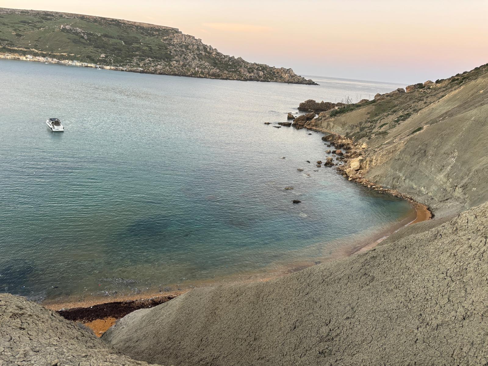
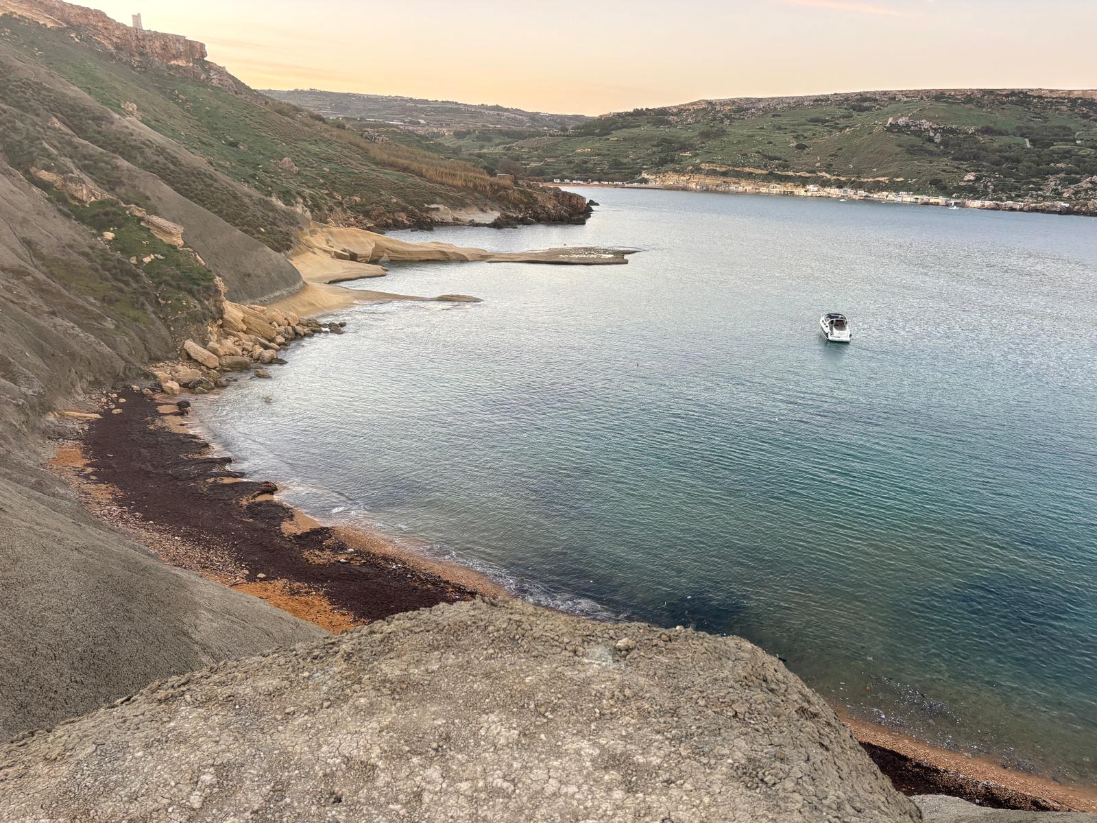
Qarraba Bay – video view of the coastline.
Visitor notes
Access involves steep, uneven paths and the surrounding slopes are geologically sensitive. Keep to established routes, do not approach unstable cliff edges and avoid disturbing the landscape.